LiDAR Scanning
LiDAR scanning.
Terrestrial, mobile, and UAV LiDAR delivered as registered point clouds in your preferred format. The foundation layer for scan-to-BIM, digital twins, and as-built documentation. Glasgow-based. Serving Scotland and UK-wide.
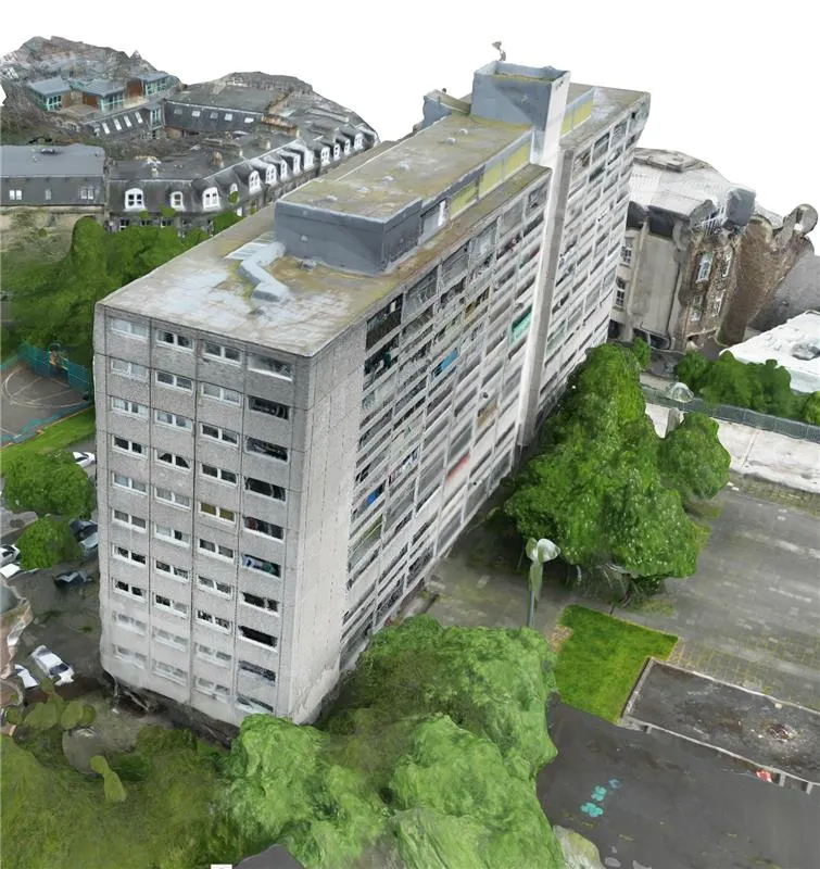
Capture Methods
Capture methods.
Terrestrial LiDAR
Tripod-mounted scanners for dense, high-accuracy data. Best for detailed interior and exterior capture.
Mobile SLAM
Handheld and wearable scanners for fast coverage of large or complex sites. Ideal when schedule matters.
UAV LiDAR
Drone-mounted LiDAR for rooftops, façades, and inaccessible structures. Combined with RGB for full context.
Deliverables
What you receive.
Everything you need to work with the data — and everything you need to verify its quality.
Use Cases
Where LiDAR earns its fee.
Extensions & refurbishment
Accurate existing conditions before design work starts. The single best insurance against on-site surprises and redesign fees.
Structural investigation
Deflection, lean, and deformation analysis from point cloud data — measurable evidence for engineers, not estimates.
Façade retention & temporary works
Accurate geometry of retained façades and adjacent structures for temporary works design and monitoring baselines.
M&E and services coordination
Capture plant rooms, risers, and ceiling voids exactly as installed — so new services route around reality, not drawings.
Heritage recording
Permanent millimetre-accurate records of listed and historic structures for conservation planning and HES/Historic England submissions.
As-built verification
Compare construction against design intent with cloud-to-model deviation analysis. Settle variations with evidence.
FAQ
Common questions.
Which method is right for my project? +
Which coordinate systems do you support? +
How big are point cloud files? +
Can you scan occupied buildings? +
Related Services
Explore more of what we do.
Matterport Surveys
3D virtual tours, floor plans, and point clouds from one visit
Learn more →Digital Twins
Navigable 3D replicas of buildings and sites
Learn more →Measured Building Surveys
CAD floor plans, elevations and sections of existing buildings
Learn more →Scan-to-BIM
LiDAR point clouds converted to Revit models at LOD 200–400
Learn more →Drone Surveys
CAA-authorised aerial photogrammetry and thermography
Learn more →Building Performance
Airtightness testing, thermal imaging, and U-values
Learn more →Film, TV & Games
Set, location, and asset scanning for production pipelines
Learn more →Ready to scan your site?
Send us a sketch or address and the required accuracy. We'll recommend the right capture method and send a fixed-price quote.